Safety
What to Do If You're Stuck Near Fort Wayne's Three Rivers After Dark
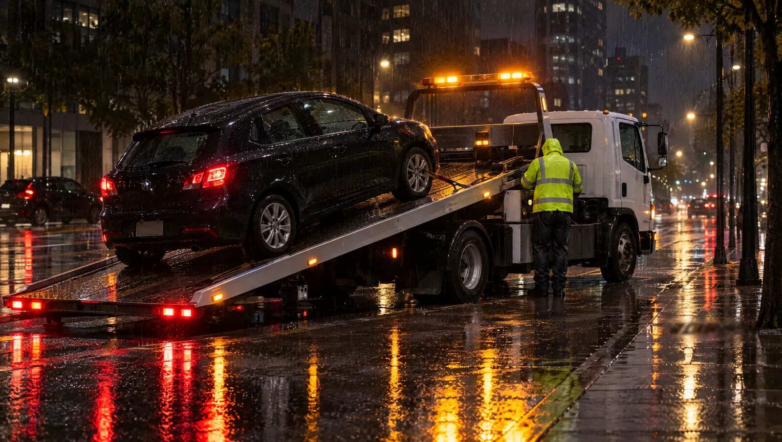
Stuck near the rivers in downtown Fort Wayne after dark? Get off the bridge deck if the car still rolls. Stop on a lit street, turn on your hazards and stay belted in. Never drive into water over the road. Call 911 if anyone is hurt or you're stuck in a lane. Then call for help and name the river, the street and the nearest cross street.
Why are the rivers a different kind of breakdown spot?
Fort Wayne is built around water. The St. Marys and the St. Joseph meet downtown and form the Maumee. All three rivers bend through town, so you cross one on almost any drive.
That matters at night for three reasons:
- Bridges have no shoulder to spare. A car that dies mid-span blocks a lane. Other drivers may not see it until late.
- The banks are dark. Riverbanks are often parks and trails, not lit storefronts. Fewer people are around to see you.
- Water rises fast here. After heavy rain, low streets near the rivers can flood. You may not see the water until your headlights hit it.
My car died on a bridge. What do I do first?
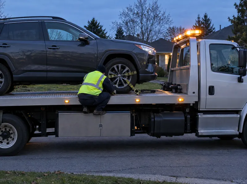
If the engine quits but the car still rolls, coast off the bridge. Aim for the first side street or lot past the end of the span. A car off the bridge is easier to reach and easier to see.
If it won't move at all, follow these steps:
- Turn on your hazard lights right away.
- Keep your seat belt on. A belt protects you if someone clips the car.
- Stay off the bridge walkway with your back to traffic. Don't stand between your car and moving cars.
- If smoke or fire makes you leave, get out on the side away from traffic. Walk off the bridge, not along the railing.
- Call 911 if you're stuck in a travel lane. Fort Wayne Police say 911 is for emergencies only. For a stalled car that's out of the way, the non-emergency line is 260-427-1222.
Indiana's move-over law helps you here. A stopped car with its hazards flashing is covered. On a road with two or more lanes your way, drivers must move over a lane if it's safe. If not, they must slow to at least 10 mph under the limit. Your hazards are what tell them.
Where is a safer place to wait downtown?
Pick a spot that's lit and has people around. The riverfront has some landmarks a driver can find fast in the dark.
- Promenade Park sits at 202 W Superior Street. It's right on the St. Marys, near where the rivers meet.
- Superior and Harrison streets. The "Convergence" sculpture is on that corner of the park. It's an easy cross street to give.
- The Wells Street Bridge crosses the St. Marys inside Promenade Park. Built in 1884, it has lights along its beams. It's a park space for events, so don't wait for a truck on it. Use it only as a landmark.
Say the street, the cross street and which side of the river you're on. The rivers split the city into quadrants. "North side of the St. Marys, at Wells Street" is a lot clearer than "by the river."
Can I walk the river trail to get somewhere safe?
Usually, not at night. The city's trails are open 6:00 a.m. to 11:00 p.m. The Rivergreenway follows all three rivers for about 25 miles. Most of it runs below street level, away from lights and traffic. A trail is a poor place to wait for a tow, and your driver can't reach you there.
Some downtown sections are closed right now, too. The city's trail page, updated October 2, 2026, lists these:
- The Rivergreenway is closed from the Wells Street Bridge to Ewing Street. Work is expected to run to mid-October. The detour follows Wells and Fourth streets.
- The Rivergreenway is also closed between Clinton Street and Harrison Street.
- The Maumee Pathway is closed for flooding from Anthony Boulevard to Maplecrest Road. It's also closed from North River Road to New Haven.
So if you were thinking of cutting along the bank to reach a lot, don't. Stay with the car, or walk to a lit street.
How do I tell if the water is too high to drive through?
You can't tell at night. Dark water hides its depth and its speed. It also hides the road under it. The National Weather Service gives the numbers:
| Moving water | What it can do |
|---|---|
| 6 inches | Knock over an adult |
| 12 inches | Carry away most cars |
| 2 feet | Carry away SUVs and trucks |
Never drive around a barrier on a flooded road. The weather service warns the road may have collapsed under the water. Turn around and find another bridge.
If your car stalls in water, don't restart it. Get out if the water is rising and climb to higher ground. Call 911 if water is moving around the car. Once you're safe and the water drops, a partner can tow the car out.
Which streets flood first in Fort Wayne?
The weather service tracks each river with a gauge. Each gauge page lists what floods at each level. Here's what two of them say:
- Maumee River at Fort Wayne. Flood stage is 17 feet. At 18 feet, the lowest unprotected city streets begin to flood, including Parrott Road between Maplecrest and Hartzell roads. At 21 feet, more city streets go under.
- St. Marys River near Fort Wayne. Flood stage is 14 feet. At 15 feet, water covers the lowest unprotected streets and park drives. At 17 feet, the Winchester Road area may face evacuations. At 19 feet, some roads and bridges close. The record is 21.2 feet, set July 9, 2003.
The third gauge sits on the St. Joseph River at Parnell Avenue. Before you head out on a rainy night, check all three. The city's flood-control page links each one. Its trail page also links a River Watch dashboard with current levels.
This isn't new. The city's flood records show a March 1913 flood that damaged 5,500 homes and businesses. In 1978, flooding closed 25 miles of streets. The rivers come up fast, and they've done it many times.
Do I need a tow, or a smaller fix?
Not every stop by the river needs a hookup. Match the help to the problem:
- Dead battery after a game or a late dinner downtown? A jump start may get you moving.
- Slid off the road onto a soft bank or a wet shoulder, and the car isn't hurt? A winch-out pulls it back if it's close to the road.
- Stalled in water, or won't run after a hit? You need a car tow to a shop or your home.
Don't try to push the car up a riverbank yourself. Wet grass gives way, and the slope runs down to the water.
How does Sentinel work in Fort Wayne?
Sentinel Towing is a towing and roadside network. We don't own trucks. A vetted local partner tow company does the job. We text you a locked price before anyone is sent. Then we check on you by text until your driver arrives. That's the Stay-With-You Promise. You can also track your truck on a map, which helps when you're waiting on a dark street.
For I-69, the I-469 loop and winter tips, see our Fort Wayne towing page.
Stuck right now? Call 1-888-TOW-1213, or request help online.
Fort Wayne Three Rivers Questions
Who do I call if a road by the river is flooded in Fort Wayne?
If anyone is in the water or a car is stuck in it, call 911. To report a flooded street with no one in danger, call the police non-emergency line at 260-427-1222. Then turn around and use another route.
Is it safe to wait on the Rivergreenway for a tow truck?
No. City trails are open 6:00 a.m. to 11:00 p.m., and many stretches are dark and below street level. A tow truck can't reach you there. Wait in your car or on a lit street nearby.
How do I check river levels before driving at night?
Use the National Weather Service gauge pages for the Maumee, St. Marys and St. Joseph rivers. The City of Fort Wayne links all three on its flood-control page. Check them after any heavy rain.
Who do I ask about a closed river trail?
The city's Greenways team handles trail closures. Call 260-427-6228 or check the Trail Closures page. It lists current closures and detours.
Rules change, so check the official source before you rely on it. Sources: City of Fort Wayne Trail Closures, City Trails, Rivergreenway, Promenade Park, Wells Street Bridge, Flood Control links, Historical Flood Data, NWS Maumee gauge, NWS St. Marys gauge, NWS St. Joseph gauge, NWS Turn Around Don't Drown, Fort Wayne Police, IC 9-21-8-35.